Routes and Rivers
Water moved metal. Distribution maps of finds are largely maps of navigable water.
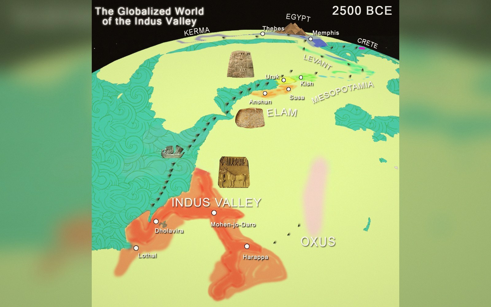
Trade-route reconstruction. Maps of this kind are interpretations built from find distributions, not records of a journey.
Photo: Bronze Age IVC Trade Route · Wikimedia CommonsMetal moves where water goes
Distribution maps of Bronze Age metalwork have a habit of following rivers. Plot copper axes or palstaves or rapiers on a map of Europe and the dense clusters sit at river mouths, along valley floors, at confluences — wherever a laden boat could set down its cargo with the least effort. The coincidence is not coincidental. Water was the infrastructure.
The rivers that appear most persistently in Bronze Age metalwork distributions are not always the most spectacular rivers.
The physics is straightforward. A single person carrying trade goods on foot across broken terrain manages perhaps twenty kilograms comfortably. The same person poling a dugout or a hide-covered boat across a lake or down a slow river moves a cargo an order of magnitude heavier, with far less caloric expenditure. Tin, copper and finished bronze are dense. Over any appreciable distance, water transport was not just preferable — it was probably the only way to move metal in quantity.
Uprights standing in standing water. Below the water table timber survives; above it, it does not.
Photo: Estonian Stalker / PexelsReading the distributions
The rivers that appear most persistently in Bronze Age metalwork distributions are not always the most spectacular rivers. What matters is navigability: gradient, seasonal flow and the absence of rapids that force a portage. The Rhine and its tributaries, the Loire and Rhône systems, the Thames and the Humber catchment in Britain — these accumulate finds not because people happened to live nearby but because they were routes. Inland sites that sit off any convenient waterway tend to produce fewer imports, shorter-range material, less exotic alloys.
Chronology
- North Ferriby boatsdendrochronology places construction in the early second millennium BC, making them among the earliest plank-built watercraft in northern Europe
Portage points are especially telling. Where a watershed separates two river systems and goods had to be carried overland from one catchment to the next, the archaeology often thickens: hoards cluster there, settlement intensifies, evidence of metalworking accumulates. The portage was a bottleneck, and bottlenecks attract exchange, tolls and the social machinery of controlled trade. Some researchers read the distribution of certain hoard types as a map of these overland links — short terrestrial legs stitching together longer river journeys.
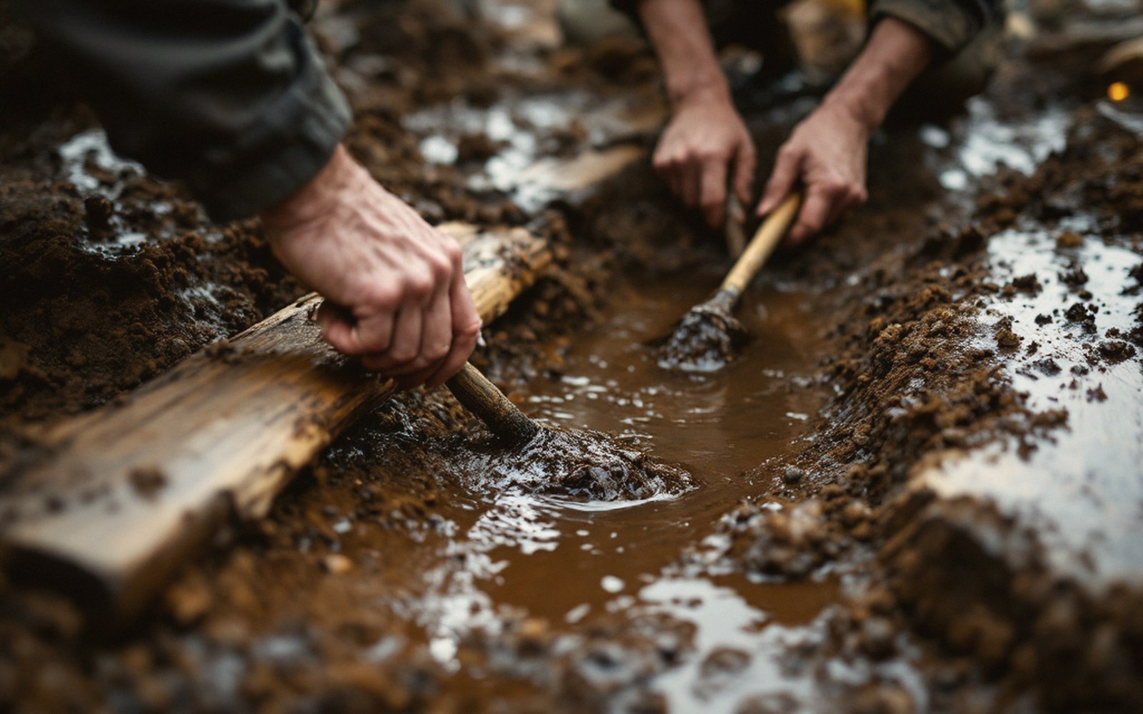
A trench in wet ground is pumped for as long as it stays open. The water that preserved everything also makes it hard to see.
Coastal and sea routes complete the picture. The tin of Cornwall and Brittany, without which bronze could not exist, reached the continent almost certainly by sea. Atlantic façade distribution patterns — artefact types shared between Iberia, Armorica, southern Britain and Ireland — have long been interpreted as evidence for a maritime network running up and down the Atlantic edge, probably hugging the coast rather than striking open ocean, but covering enormous distances over generations of repeated contact.
Connectivity
| Item | What the record says |
|---|---|
| Portage points | overland links between river catchments; archaeology often thickens at these bottlenecks |
| Atlantic façade | a distribution zone linking Iberia, Armorica, Britain and Ireland through shared artefact types, implying repeated maritime contact |
Boats and the evidence problem
The evidence for the boats themselves is frustratingly thin relative to the volume of material they must have moved. Sewn-plank boats like those found at North Ferriby on the Humber, built from split oak timbers stitched together with twisted yew withies and caulked with moss, demonstrate that Bronze Age Britain possessed vessels capable of genuine sea crossings. Radiocarbon dating places the Ferriby boats in the early second millennium BC — earlier than most people expect. Logboat finds are more numerous but speak to river and lake travel rather than open-water passages. For the open-sea legs of Atlantic trade, the boats remain largely inferential, their existence deduced from what arrived rather than from any surviving hull.
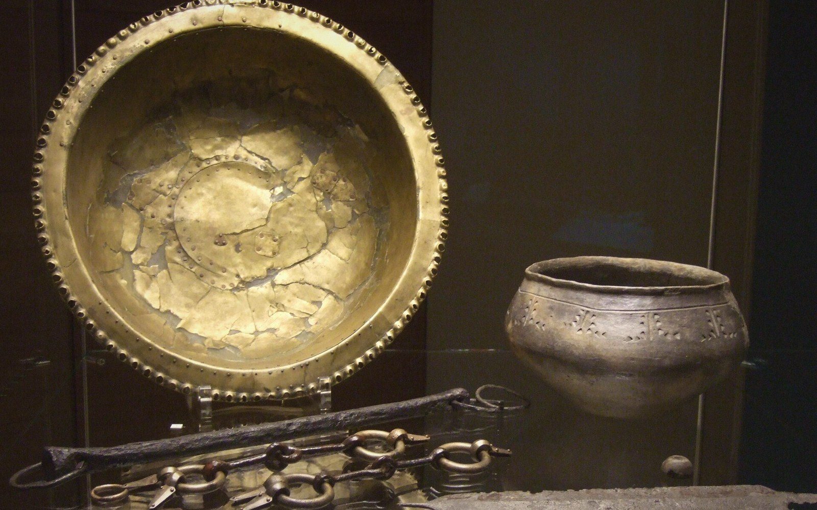 Plate iii
Grave goods sort the dead into ranks. What they cannot say is whether rank followed the metal or the metal followed rank.
Photo: Lombard "Princess' Grave" goods from Hauskirchen, Austria · Wikimedia CommonsRiver finds of metalwork complicate interpretation in a different direction. Objects recovered from rivers in quantity — swords, spearheads, axes by the dozen from certain river stretches — may represent losses during transport, or they may represent deliberate deposition at river crossings, confluences and other liminal points where water warranted propitiation. The two explanations are not mutually exclusive, and distinguishing accidental loss from structured deposition requires looking hard at the condition and assemblage composition of what was found. Either way, rivers appear in the record not merely as transport corridors but as places with social and ritual weight of their own.