Causeways
Timber alignments driven into wetland, sometimes for a kilometre — and the effort to build them vastly exceeds any practical need for a crossing.
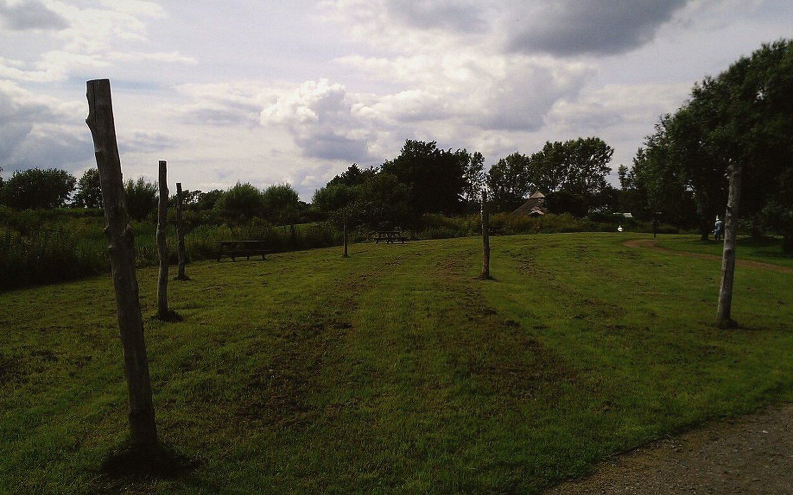
Timber uprights standing in wet ground. An alignment of posts is the most common surviving trace of a causeway.
Photo: Flag Fen wooden posts · Wikimedia CommonsThe Scale of the Work
A Bronze Age causeway is not a footbridge. The alignments archaeologists have recovered from European wetlands are sustained engineering works: rows of driven posts, sometimes paired, sometimes triple, running for hundreds of metres across ground that was already, in many cases, reachable by boat or passable on foot at low water. Flag Fen in the English Fenland preserves the most extensively studied example — a post alignment running roughly one kilometre between Northey and Whittlesey, constructed and maintained across several centuries of the late second and early first millennia BCE. More than sixty thousand timbers have been identified in the deposit associated with it. That figure alone tells you this was not a casual response to a flooding problem.
Why it matters for interpretation
| Item | What the record says |
|---|---|
| Metalwork deposited alongside causeways is patterned, not random | spatially clustered, often deliberately broken |
| Duration of maintenance plus votive deposits shifts interpretation from "practical crossing" toward "bounded, meaningful threshold" | |
| Water-level rise in the Fenland tracked by successive construction episodes | |
The engineering logic is legible in the posts themselves. At Flag Fen the alignment carries a substantial horizontal platform alongside it, and the posts are not set randomly but in five roughly parallel rows, implying planned loading. Reading a worked end on the surviving timber shows a variety of tool facets, evidence for different axe blades and presumably different working hands across the construction episodes. Dendrochronological work has tied specific felling events to particular decades; the structure was not built in a single campaign but in multiple phases, with posts replaced as they failed, which means someone held obligation to maintain it across generations.
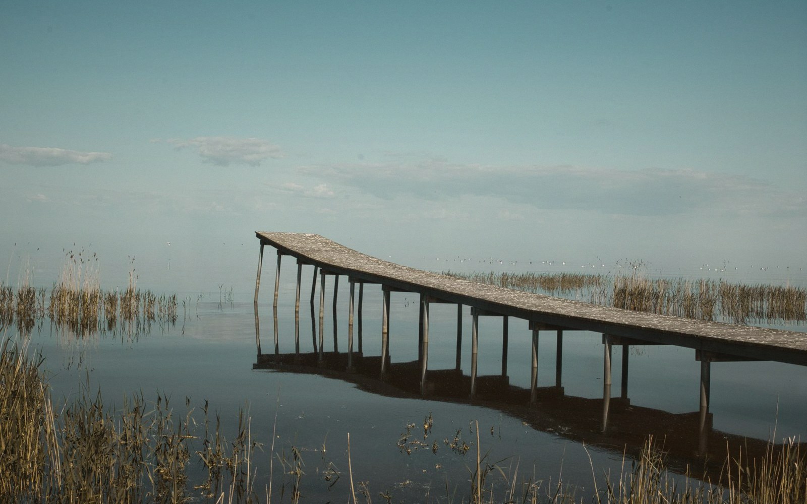
Uprights standing in standing water. Below the water table timber survives; above it, it does not.
Photo: Estonian Stalker / PexelsIn the Alpine forelands and around the circum-Alpine lakes, comparable alignments connect settlements on the shore to structures further out over water — in some cases appearing to serve the same combined purpose of route and platform. At Cortaillod-Est on the Swiss lake of Neuchâtel, and at sites around Lake Constance and the Federsee, post-built walkways cross shallow inundated margins. The contexts differ from the Fenland, but the investment is comparable: large numbers of straight, split or roundwood timbers, carefully positioned, with repair episodes.
Chronology
- Flag Fen post alignmentconstructed and used across several centuries of the late second and early first millennia BCE; specific felling dates recoverable by dendrochronology
- Alpine forelands lake-margin walkwayscomparable investment, broadly coeval Bronze Age period; exact phasing site-specific
Why Build Them
The practical explanation runs quickly into trouble. Where causeways cross genuinely impassable water the argument holds, but many alignments cross ground that seasonal change or simple detour could have bypassed. The labour calculus does not balance against pure convenience: felling, splitting, transporting and driving posts in waterlogged ground is hard work, and the tonnage of timber committed to some of these structures could have built substantial dry-land structures instead.

A trench in wet ground is pumped for as long as it stays open. The water that preserved everything also makes it hard to see.
The metalwork record complicates things further. At Flag Fen, and at comparable wetland alignments elsewhere in Britain, quantities of Bronze Age metalwork have been recovered from the deposits directly alongside or beneath the alignment — swords, spearheads, pins, ornaments, much of it deliberately broken before deposition. The metalwork is not random loss. It clusters spatially in ways that suggest structured, repeated acts of placing objects into the water or the wet deposit beside the posts. This pattern is now widely interpreted as deliberate votive behaviour: the boundary between land and water was a boundary of some other kind too, and the causeway made that boundary legible and fixed, generation after generation.
Scale and labour
| Item | What the record says |
|---|---|
| Flag Fen: roughly one kilometre of alignment, more than sixty thousand timbers identified in associated deposit | |
| Posts set in up to five parallel rows | implies planned load-bearing, not improvised crossing |
| Construction in multiple phases with repair episodes: obligation maintained across generations | |
The alignment as a boundary marker fits the long duration of many of these structures better than the alignment as a mere crossing. Flag Fen's construction spans a period when relative water levels in the Fenland were rising — the causeway was extended and raised as conditions changed. Maintaining a route across encroaching water might be pragmatic, but maintaining it at considerable cost over centuries, while simultaneously depositing high-value objects alongside it, suggests the route itself carried meaning that exceeded its traffic function.
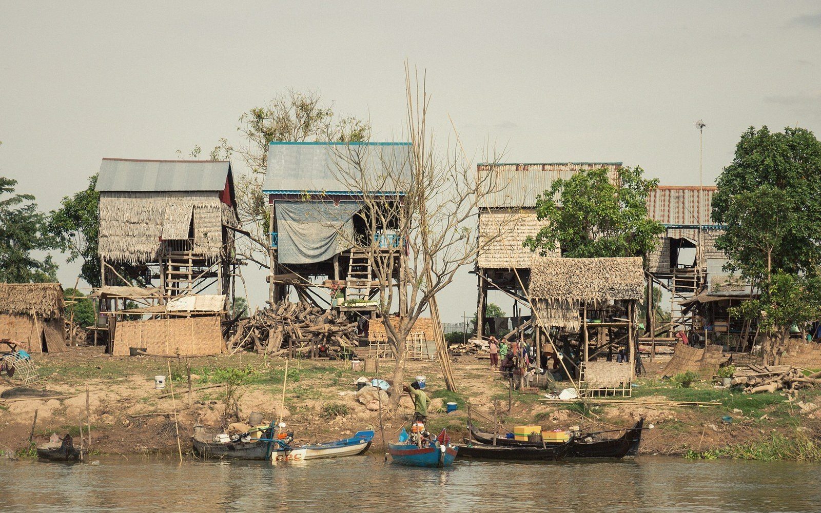 Plate iii
Stilt-built housing over water. Not a Bronze Age structure, but the same engineering answer to ground that will not hold.
Photo: Tonle Sap stilt houses · Wikimedia CommonsSurvival and Its Conditions
What survives is not representative. Timber causeways exist in the record only where anaerobic waterlogged conditions have suppressed decay — the same environments that preserve the metalwork deposited beside them. Unknown numbers of comparable structures on ground that has since dried out, been drained or been ploughed are gone entirely. The alignments we study are the ones the water saved, which means our picture of their distribution is partly a picture of where the water still holds.
m-Alpine lakes, comparable alignments connect settlements on the shore to structures further out over water — in some cases appearing to serve the same combined purpose of route and platform.
Conservation of recovered timber is correspondingly demanding. Waterlogged post wood, once lifted and allowed to dry, shrinks catastrophically and loses every surface detail — including the tool marks that identify the axes used to work it. Keeping excavated wood wet from the moment of lifting is not optional; it is the only way the evidence survives at all.